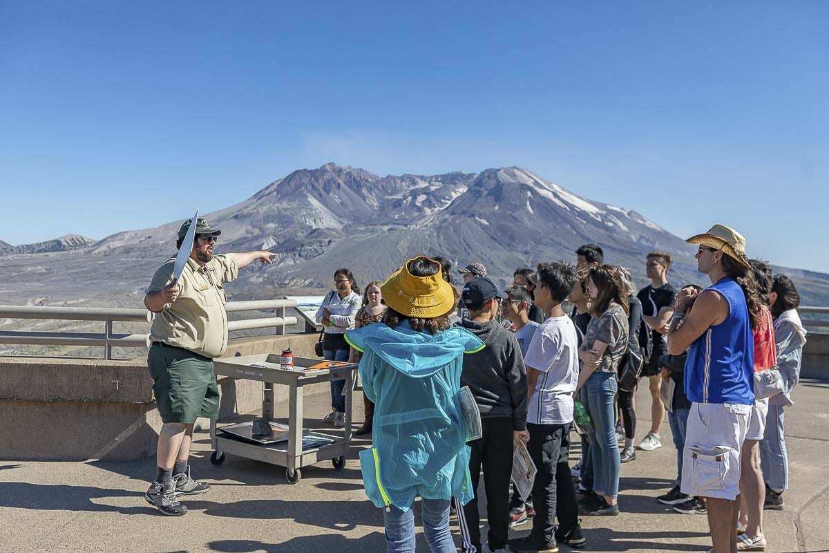
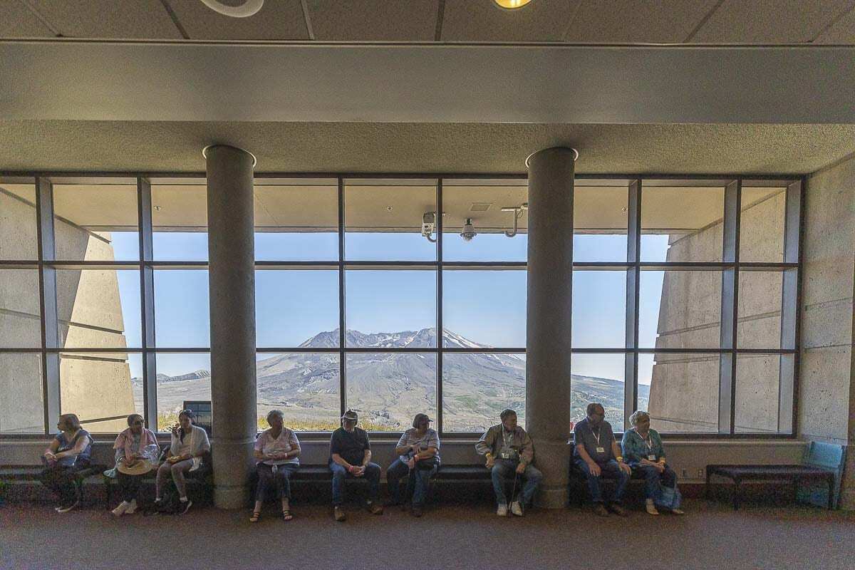
The Forest Service still is waiting for the Johnson Ridge Observation Center to be reopened to the public.
For the second consecutive year, area residents will be limited in their opportunities to observe the anniversary of the eruption of Mt. St. Helens.
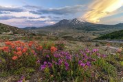
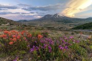
On the morning of May 18, 1980, a modest-sized mountain in the Cascade Range of southwest Washington became the most famous volcano in the continental U.S., thus making today the 41st anniversary of one of the Pacific Northwest’s most noteworthy historical events.
Last year, most of the events to recognize the 40th anniversary of events were held online or were canceled after the COVID-19 restrictions limited activities in the county and the state. The Forest Service still is waiting for the Johnson Ridge Observation Center to be reopened to the public.
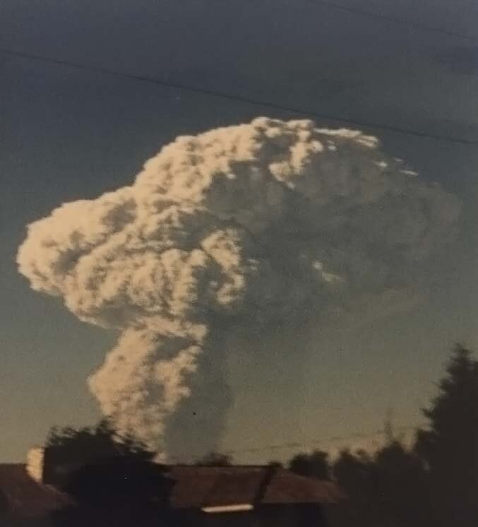
Mt. St. Helens’ eruption was one of the largest in recorded history, beginning with a 5.1 magnitude earthquake, which triggered a massive landslide; nearly a cubic mile. The landslide tore open the mountain, releasing the pressurized gas and ash inside.
The enormous ash cloud blasted outward at speeds of over 90 mph and upward, high enough to reach the stratosphere, and drift as far as California. Over 150 square miles of forest was blown down in an instant, or scorched dead in place.
Fifty-seven people lost their lives in the eruption, while some 200 homes, 47 bridges, 184 miles of highways, and 15 miles of railways were destroyed. An estimated 5.4 million tons of ash was blown out of the volcano.

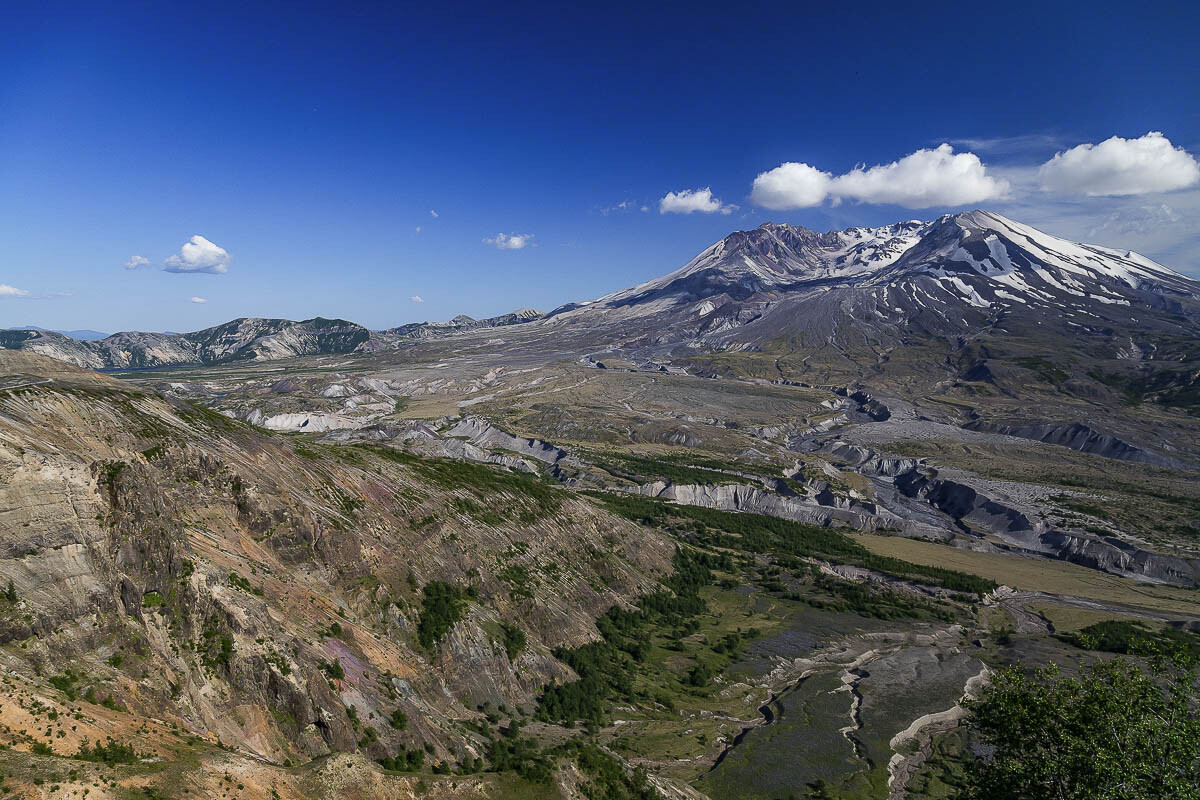
In 1982, President Ronald Reagan and members of Congress established the Mt. St. Helens National Volcanic Monument and created a vast landscape to explore and learn from.
State Route 504, the road to the Johnston Ridge Observatory is currently open and so is the parking lot at the facility. Forest Service officials are reportedly waiting for more snow to melt before opening trails in the area.
For more information on openings and closures, visit https://www.mshinstitute.org/explore/overview.html.
Also read:
Eyewitness to history: Clark County Today staffers share Mt. St. Helens memories
Observing the 40th anniversary of the eruption of Mt. St. Helens

Pacific Northwest Day Trips: Mt. St. Helens