

VANCOUVER — KOIN 6 Meteorologist Steve Pierce updated his weather forecast for the next 48 hours covering the Portland Metropolitan area, including Clark County, and his projections indicate less severe winter weather than previously expected.
Pierce posted his latest forecast on Facebook at 11:30 a.m. on Wednesday.
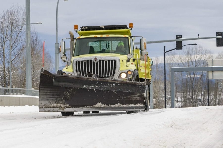
“A Winter Storm Watch is up for the Portland metro area as well as from Longview south to Eugene for Thursday night into Friday, as moisture from the south once again meets up with cold air that is pouring through the Columbia River Gorge Wednesday morning,’’ Pierce wrote. “Strong east winds are ushering in cold dry air and that will lower daytime highs into the 30’s through Friday.
“On Thursday evening, a system from the south will override the cold air in place,’’ Pierce added. “There is a growing trend in the models for this to be a quick transition event from snow to freezing rain and ultimately to plain old rain.’’
Pierce indicated the following was becoming clear to the KOIN 6 weather team:
- All models are trending lighter with total precipitation amounts.
- Considerably warmer air will be coming in above us by the time the majority of the precipitation arrives on Friday morning. This will limit our chances for any significant snowfall in Portland early Friday morning.
- Of our two most trusted models, one is suggesting that the precipitation holds off until the early morning hours on Friday with no snow at all.
- ALL models are showing a fairly quick transition to plain rain Friday, as temperatures warm at the surface and aloft.
- A quick shot of freezing rain is looking more likely in this scenario, as temperatures at the surface will likely remain near freezing until late morning Friday. This could still make the Friday morning commute slick in the metro area.
- Models are NOT currently forecasting a significant ice event anywhere west of I-205. The Gorge is still likely to see significant snow and ice through the day on Friday before ultimately warming up overnight Friday night into Saturday. Travel through the gorge will be impacted.
Pierce indicated a wild card still remains for the forecast.
“We still have several more model runs to go between now and the onset of the precipitation tomorrow evening,’’ he wrote. “But it would appear as though this event will NOT rival the earlier events in January, as the level of cold air is simply not sufficient for a prolonged event. Having said that, we will still need to watch for any changes in the current forecast models.’’
Pierce went on to indicate that “light snow should begin in the Portland metro area during the evening hours Thursday then quickly transition to freezing rain overnight Thursday into Friday morning before moderating Friday afternoon. Temperatures will moderate quickly this weekend. A metro-wide crippling storm is NOT expected.
“As is always the case, the exact amount of snow, duration of snow and ultimate duration of freezing rain are always subject to change, but models are coming into better agreement now. This has been quite the historic winter so far, as Portland ends its single coldest month (January) since 1985 and the coldest Dec/Jan combo since 1978/79.’’
Pierce also concluded that “after a short warm up over the Super Bowl weekend, models hint at some lower elevation snow early next week. However, at this time it appears to remain well above the valley floor.
“The KOIN 6 weather team is tracking this historic winter and will have the latest updates 24/7 online and on air,’’ Pierce wrote. “I will post additional updates as needed over the next 24-48 hours as additional model information comes in.’’