

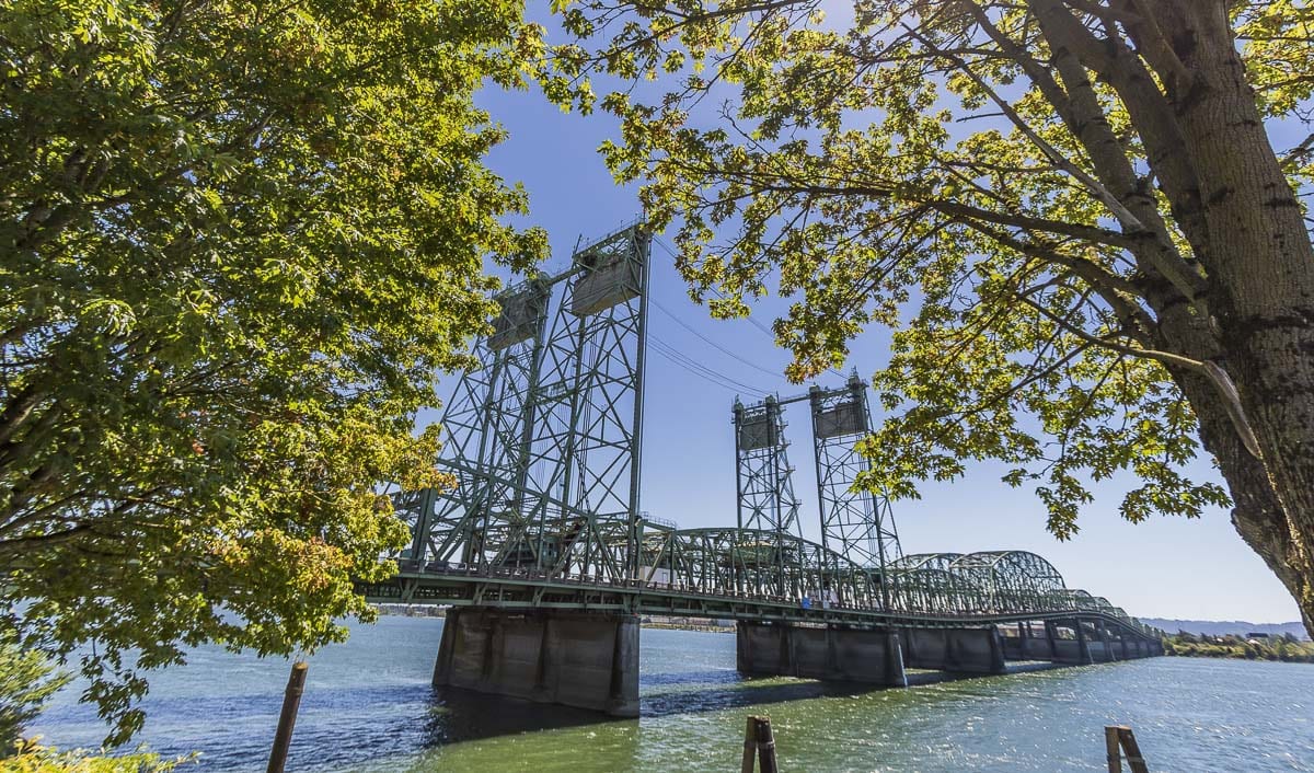
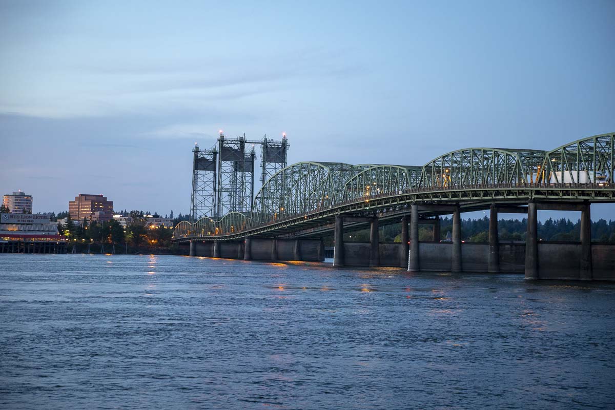
Nine-day closure of the northbound span now begins Saturday
VANCOUVER — The Interstate 5 Bridge closure that has been on the horizon for months, was rescheduled and is now, once again, only a few days away.
Beginning Sept. 19 and lasting through Sept. 27, the initial closure will shut down all three bridge lanes of I-5 north and have drivers share the remaining three lanes on I-5 south. Later in September and October, another closure will shut down one lane of I-5 south.
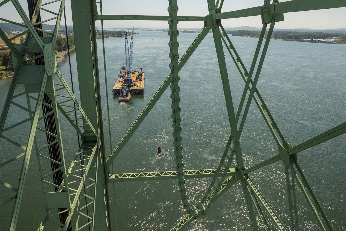
During the closures, crews will replace a nearly 100-year-old component, known as a trunnion, that helps raise and lower the drawbridge part of the crossing. A crack in the trunnion has been monitored for the last several years, and is now at a place where immediate action is required.
The three lanes remaining open on the southbound side during the initial closure will toggle to accommodate two lanes southbound in the morning and one lane southbound in the evening. A zipper barrier truck will move the concrete barrier back-and-forth in the middle of the day to accomplish this.
Here’s what you need to know to be on time and stay safe:
The expected traffic impacts
Heavy traffic congestion during the closure will not be limited to I-5 alone. Oregon Department of Transportation (ODOT), along with Washington Department of Transportation (WSDOT), also expect large delays and congestion on I-205, I-84, SR-14, and many local side streets and highways in south Vancouver and north Portland.
Slated to start in the evening on Sept. 18, nighttime lane closures will take effect on the bridge. Double-lane closures are slated to begin that night on both sides; allowing crews to position equipment.
“We’re expecting some significant congestion in both directions because of this closure,” ODOT Public Information Officer Don Hamilton, previously told Clark County Today. “The most important thing people can do is plan ahead. Anytime you take a part of the interstate highway system, out of circulation, you’re going to be creating some significant problems on the whole transportation system.”
Ramps expected to be closed for the duration of the nine-day closure are the SR-14 and Washington Street on-ramp for I-5 south, the Marine Drive on-ramp for I-5 north, the Hayden Island on-ramp for I-5 north, and the I-5 north to SR-14 off-ramp in Vancouver.
The northbound sidewalk along the bridge will also be closed from Sept. 19-27, and pedestrians and cyclists will share the southbound sidewalk for all travel.
You can find full detour directions and detour maps here.
Safety first
During the closure, Washington State Patrol (WSP), Vancouver Police Department (VPD) as well as other agencies on the Oregon side will be doing extra patrols to keep drivers safe, moving and undistracted.
“Traffic congestion and delays can cause the urge to grab your electronic device, which is illegal and dangerous,” said Sgt. Therese Kubala with VPD’s traffic unit, in a video message. “In an effort to protect the safety of everyone, law enforcement officers will be … looking for drivers who are not using their phone hands free, texting while driving or exhibiting other behaviors which result in distracted driving.”
In addition to driving distraction free, ODOT and WSDOT are asking drivers to double following distance, move over when possible while passing workers and drive for conditions; which for the next week could include reduced visibility due to haze from wildfires.
It is also very important to look out for the zipper barrier truck once the closure is underway. The vehicle is slow moving while shifting the lane separator during the day, and will be conducting this shift during regular traffic hours.
Visit real-time traffic websites for Washington and Oregon before heading out the door.
Traveling tips and alternative routes
WSDOT and ODOT are projecting that if travelers of the bridge do not change any of their travel habits during the closure, the area could see 16 hours of congestion a day with up to four miles of traffic on both sides of the river.
In a combined effort to prevent such a situation, the agencies are asking people to carpool, take public transit, bicycle, or work from home. Some 70,000 people in Clark County pay Oregon income taxes, which is a likely sign a similar number works across the river, Hamilton said.
“It’s critical that people find an alternate plan, find another way to do the things they need to do including getting to work,” Hamilton said. “There’s a lot of different steps people can take to try to avoid these problems that we’re expecting.”
To this end, C-TRAN in Clark County now has a widened shoulder lane for their buses leading up to the bridge. The project, along with several others, including the installation of new electric signage, was recently completed at break-neck speed by WSDOT.
C-TRAN and TriMet are also expecting significant delays, however, particularly in the immediate vicinity of the bridge. C-TRAN’s Route 60 is slated to be modified, as it will not serve Jantzen Beach going northbound, but instead will serve it going southbound on the way to Delta Park. Vancouver will then be served from Delta Park going northbound.
The Glenn Jackson bridge on I-205 is being suggested as the most immediate detour for crossing over into Oregon from Washington during the closure.
With regard to marine traffic during the presence of the barge and the closure, safety and designated boating lanes can be found here.
For additional questions, to sign up for project updates and to learn more about the project visit the standalone bridge closure site, www.interstatebridge.org. You can also call (503) 731-8276 or email interstatebridge@odot.state.or.us.