

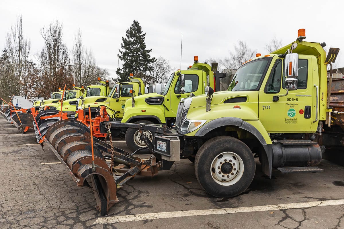
A Winter Storm Watch is in effect from noon Thursday through Saturday morning
CLARK COUNTY — It appears all but certain that snow is headed our way in the next 24 hours, but how much remains an open question.
The National Weather Service (NWS) in Portland has issued a Winter Storm Watch, effective at noon on Thursday, through Saturday morning.
“Probably starts out as light rain tomorrow, early, but it should transition over to snow at some point during the day tomorrow,” said David Elson, a meteorologist with the NWS. “By the afternoon, it looks most likely to be snow.”
Exactly when the change over to snow happens is still a bit of a question mark. Elson said it’s likely the Thursday afternoon commute could be OK, but drivers should be ready just in case.
“Life experience says that it doesn’t take much to really foul up traffic,” said Elson. “There’s definitely a potential there of traffic impacts during the afternoon, Thursday.”
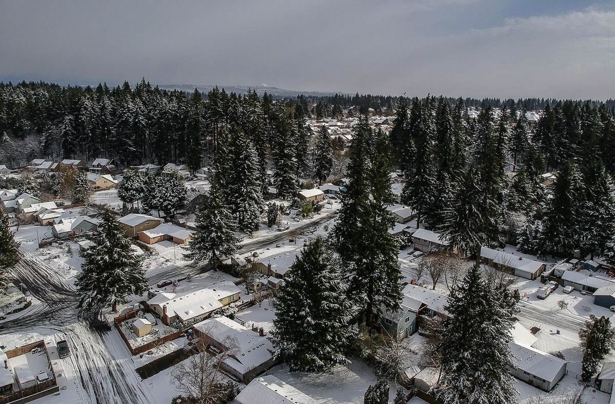
As for how much of the white stuff could fall, Elson says there’s growing confidence that several inches could fall overnight Thursday into Friday, especially for Clark County and east of the Portland metro area.
Whatever falls during that period is likely to still be here as another, stronger band of moisture arrives Friday night into Saturday, as temperatures hover near freezing during the day. That second round could dump between 3-8 inches of snow, according to some forecasts.
The greatest danger for commuters could be Friday night, as any snow that melted on warm roadways could re-freeze, creating icy conditions across much of the area.
Unlike many Winter storms that seem to promise snow and fail to deliver, Elson says there’s higher-than-usual confidence this one will produce a decent amount of accumulation.
“What looks to be in place that we often don’t have a solid handle on is cold air,” he says. “And it does look like, from Thursday night anyways on it looks like it’s cold enough for snow.”
A third band of precipitation arrives Saturday night through Sunday morning but, by then, enough of the cold air should have been moved out of the area to quickly turn from snow, to a brief bit of sleet or freezing rain, and then all rain by Sunday afternoon.
Areas on the east side of Clark County, however, could remain blanketed in snow until Monday afternoon, due to cold air remaining stuck in the Gorge.
“It looks like it’s slow,” says Elson. “It’s not gonna be a huge bounce back over the weekend, but forecast in the upper 30s for Sunday.”
While it has been a mild and wetter-than-normal Winter, snow is not uncommon in mid-to-late February.
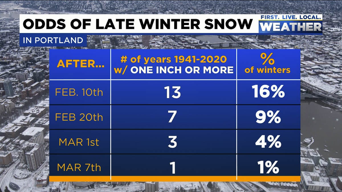
According to KPTV-TV Meteorologist Mark Nelsen, there has been an inch or more of snow after Feb. 10 thirteen times since 1941, or 16 percent of the time. Snow is even possible in early March, though it rarely sticks around for more than a day, as the angle of the sun increases, raising its ability to warm things up during the day.
Be sure to check back with Clark County Today here and on our Facebook and Twitter accounts for frequent updates and coverage of this February Winter storm.