There’s a chance more snow could be on the way over the next few days
CLARK COUNTY — Whether you woke up to a quickly melting dusting of snow or a Winter wonderland this morning largely depended on where you live.
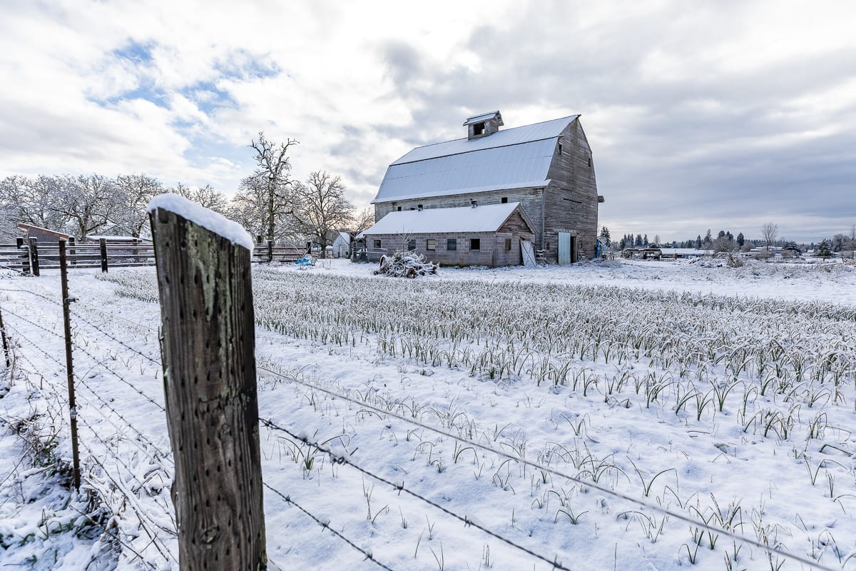
For Clark County, much like in the Portland area, the farther east you went, the better the odds were that you’d find heavy snow. People in Ridgefield saw next to nothing, In the Battle Ground city limits, there were reports of around 1.8 inches, while Camas and Washougal saw between 8 inches and a foot.
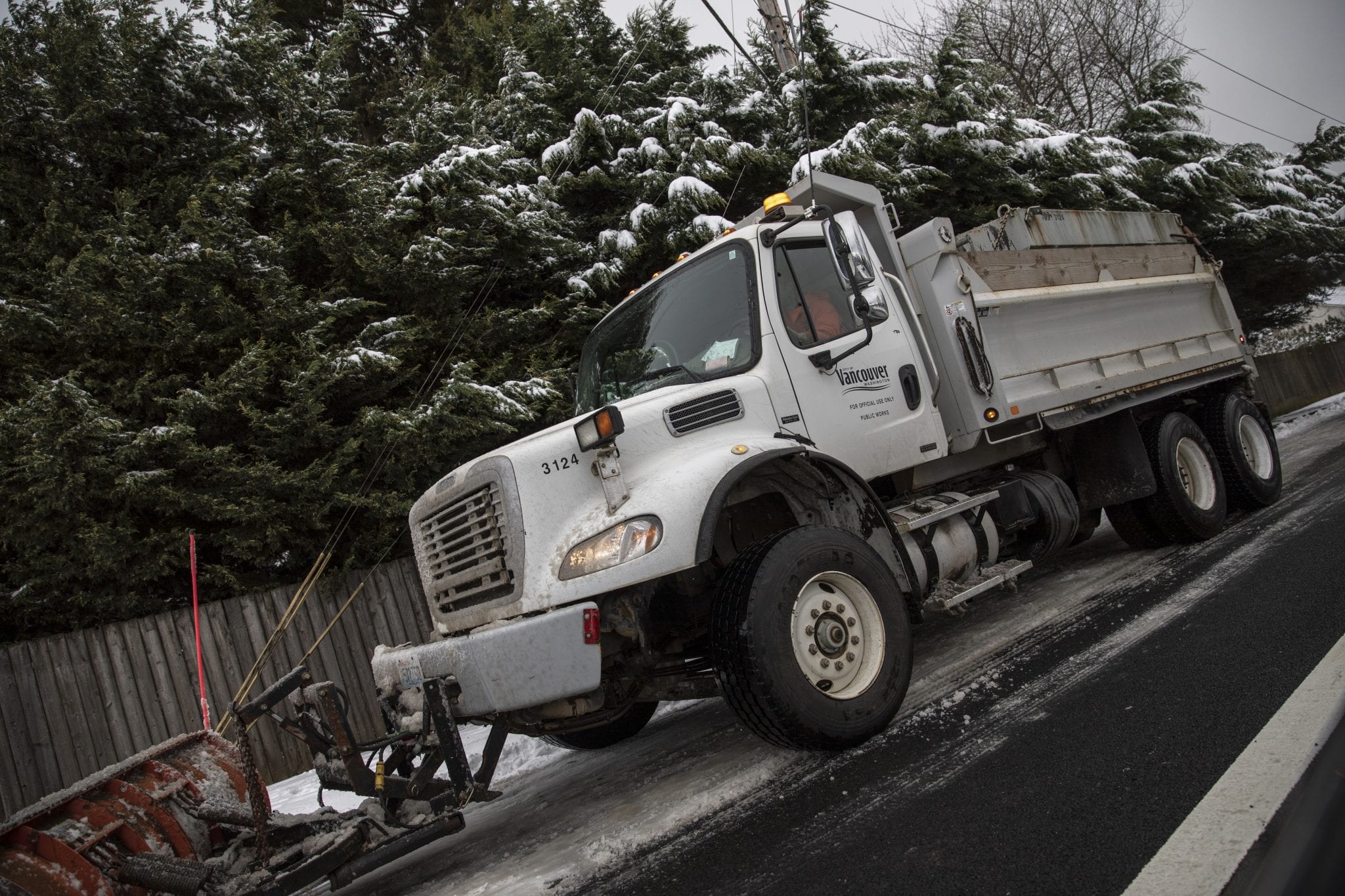
Officials in Camas said abandoned vehicles were making it difficult for their snow plows to get out and clear roads around the city.
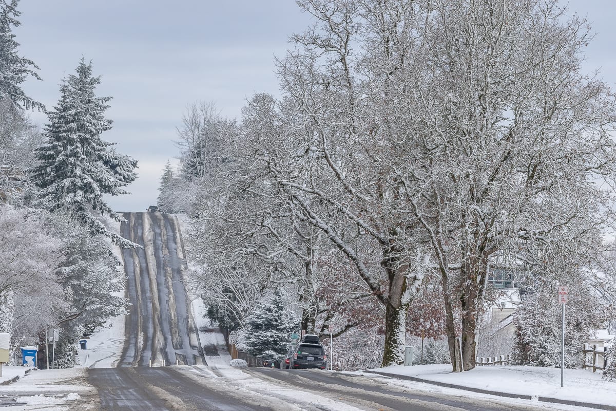
Even in Vancouver, snow totals varied wildly.
“There might’ve been some heavy bands of snow that kind of moved through last night,” says Tyree Wild, a meteorologist with the National Weather Service in Portland. “We got a lot of heavy snow here at the office in about a three-hour period.”
The storm didn’t reach the lofty totals that some amature meteorologists were hoping for, but largely lined up with the 1 to 4 inch totals forecasted by the Weather Service and professional forecasters.
There were some reports of accidents, but no widespread traffic problems as a result of the snowstorm. But areas where heavier snow fell — such as Camas, Yacolt, Amboy — and others, could see a new problem develop overnight.
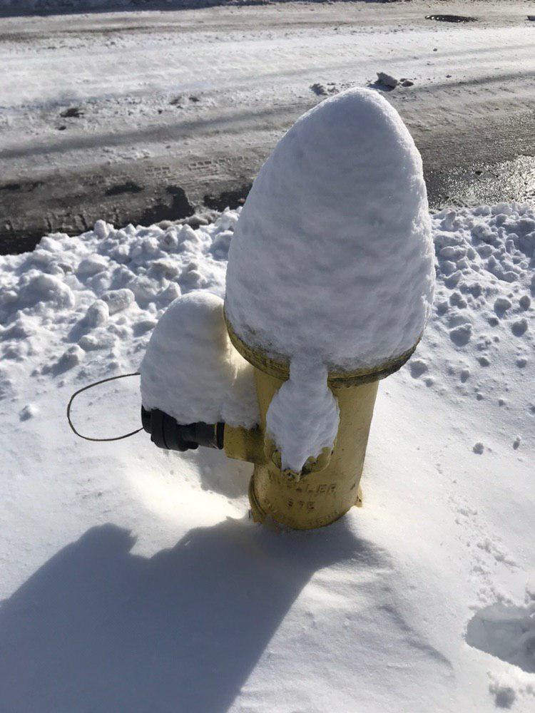
“We’re going to see temperatures really rapidly plummet tonight,” says Wild, “so everything that melted today is going to really rapidly re-freeze tonight.”
Wild says he expects outlying areas to see temps into the teens, while the metro area hits the low-to-mid 20’s. That could create new hazards in places where roadways didn’t have a chance to melt off today.
There is a chance some of us could wake up to a dusting of new snow on Sunday morning, with a low off the Oregon coast still throwing occasional bands of moisture northward. It’s not expected accumulations will amount to anything more than an inch for most of us, and likely less than that.
Sunday afternoon another system pushes down out of Canada, and has a chance to create another brief round of snow. Right now, forecasters believe it will warm things up overnight Sunday into Monday, keeping us from another major snow event.
“That system will probably start out briefly as snow when it begins in the late afternoon and evening,” Wild says, “and then the snow level will kind of rapidly rise to about 500 feet, maybe 1,000 feet, during the nighttime hours.”
The National Weather Service is forecasting around an inch of snow late Sunday night, and then a relatively wet day on Monday in the valley. There is a chance heavier showers could briefly turn to snow, but nothing is expected to stick around long.
Another system is then forecasted to move through Monday night into Tuesday, but “that looks to be a little bit warmer too, with just valley rain and mountain snow,” says Wild.
While this may not be shaping up to be the snow event of the century, as some forecasters feared it might, temperatures are expected to remain below normal at least through next weekend.
“But really hard to say whether we’ll get any type of significant system much like we had last night,” says Wild.

The snow is making things tough for many people who had their trash and recycling pick-up delayed by snow earlier in the week. Waste Connections canceled Saturday morning collections due to unsafe conditions for drivers. That means people who didn’t get their trash picked up this week will have two week’s worth to put out next week. Waste Connections says you can put out an extra can, or leave bags. If you choose the latter, they ask that the bags be well sealed, and put out early in the morning if possible to avoid wild animals getting into them.
Be sure to follow us on Facebook and Twitter for more updates. You can also find a link to a continuously updated list of closures and delays on our main page at ClarkCountyToday.com.
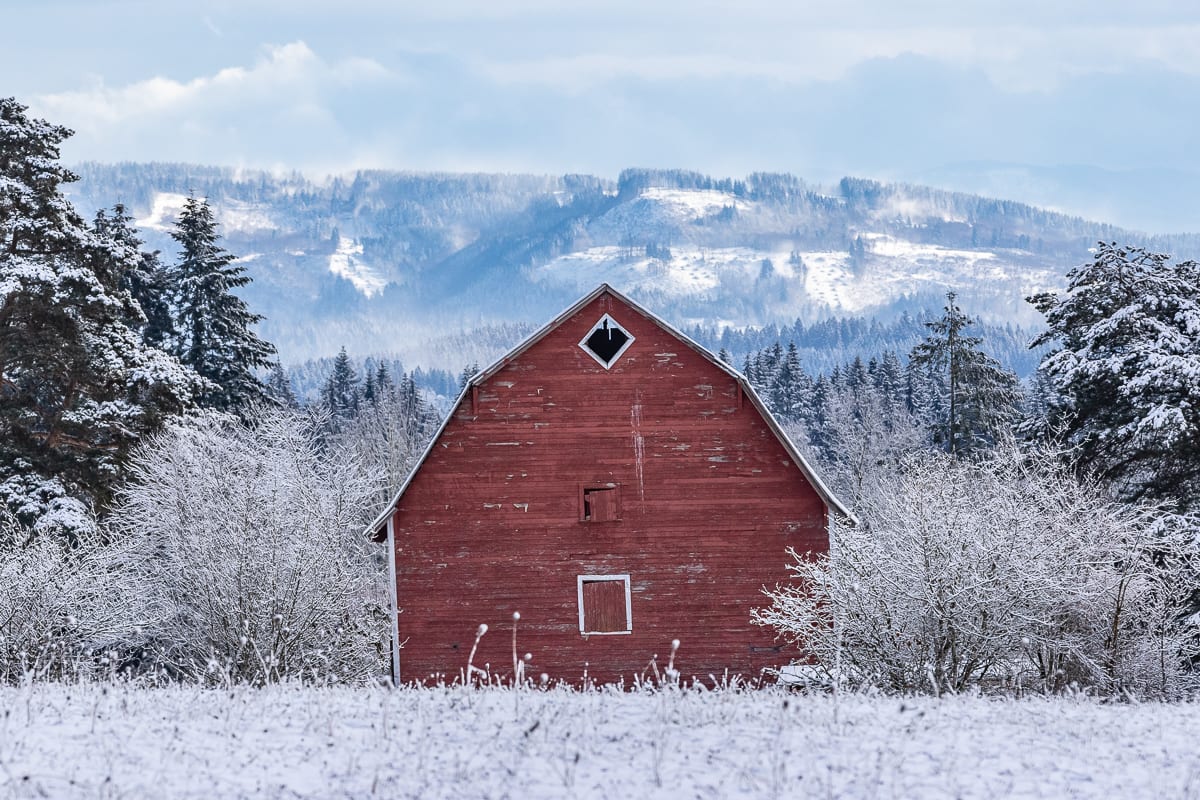
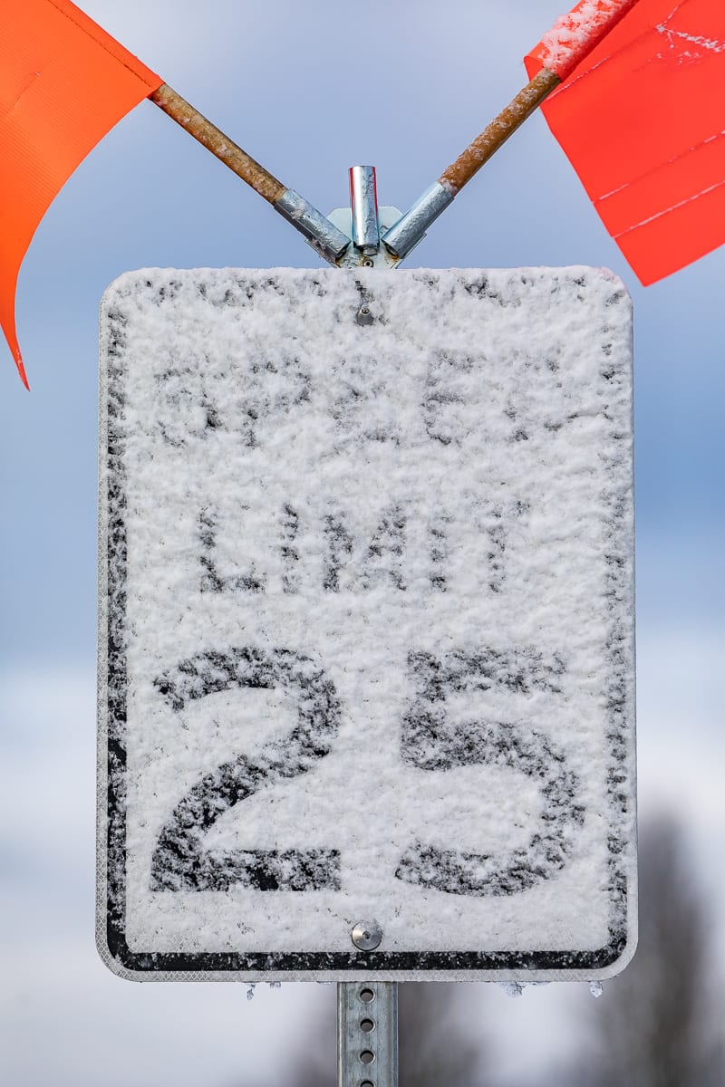
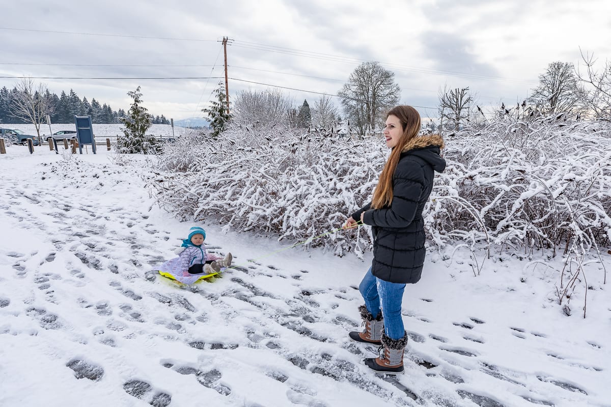
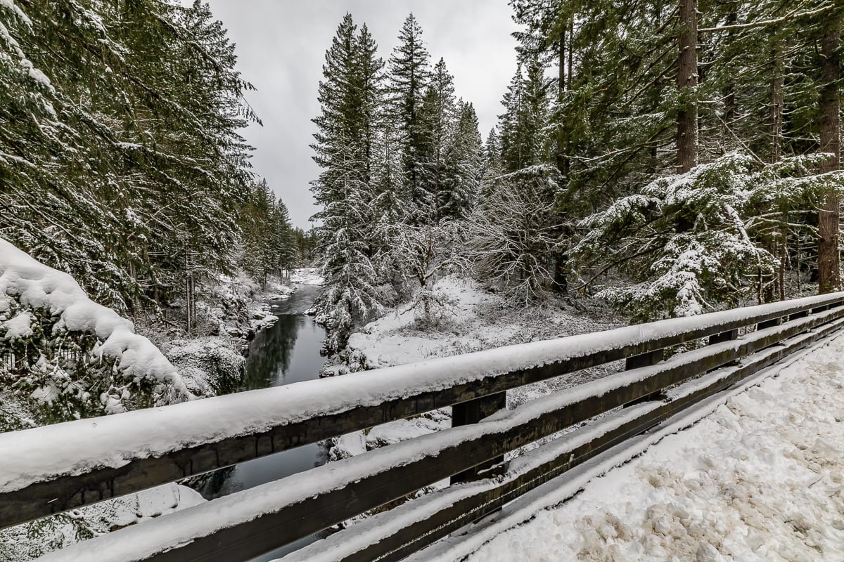
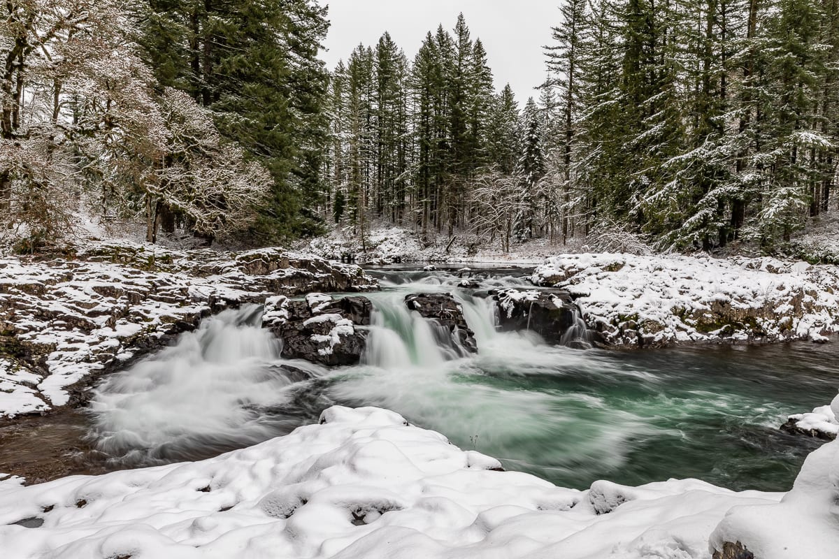
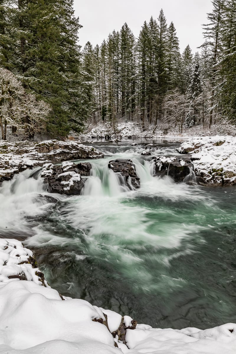
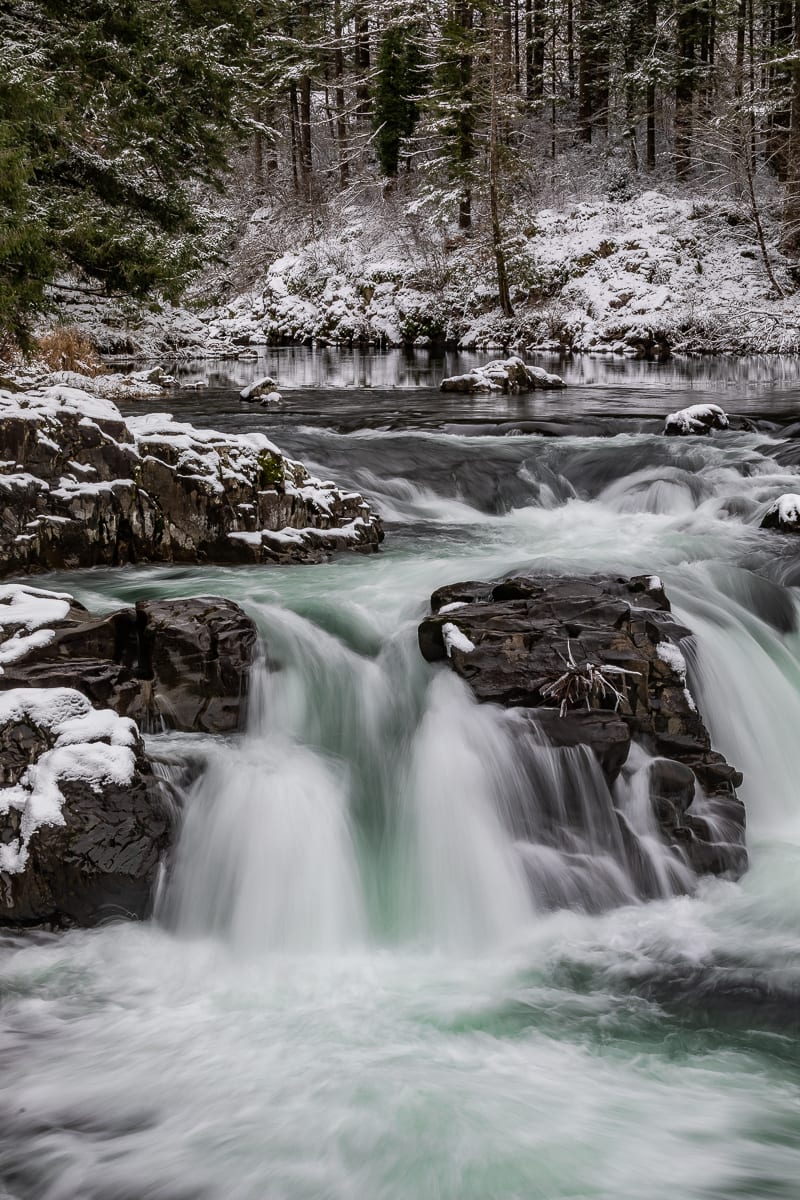
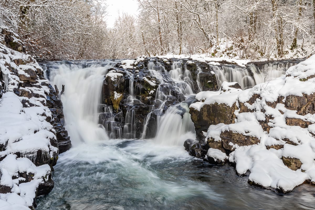
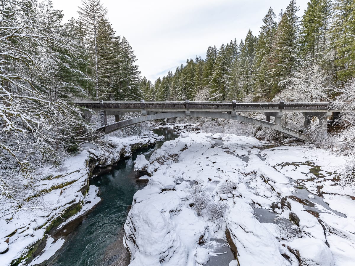
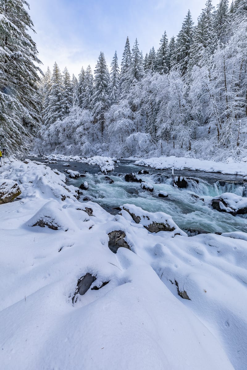
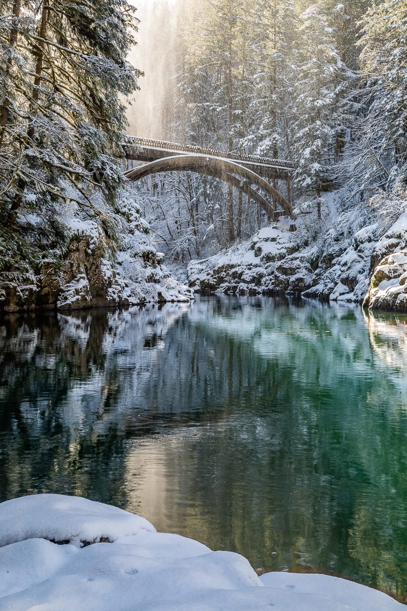
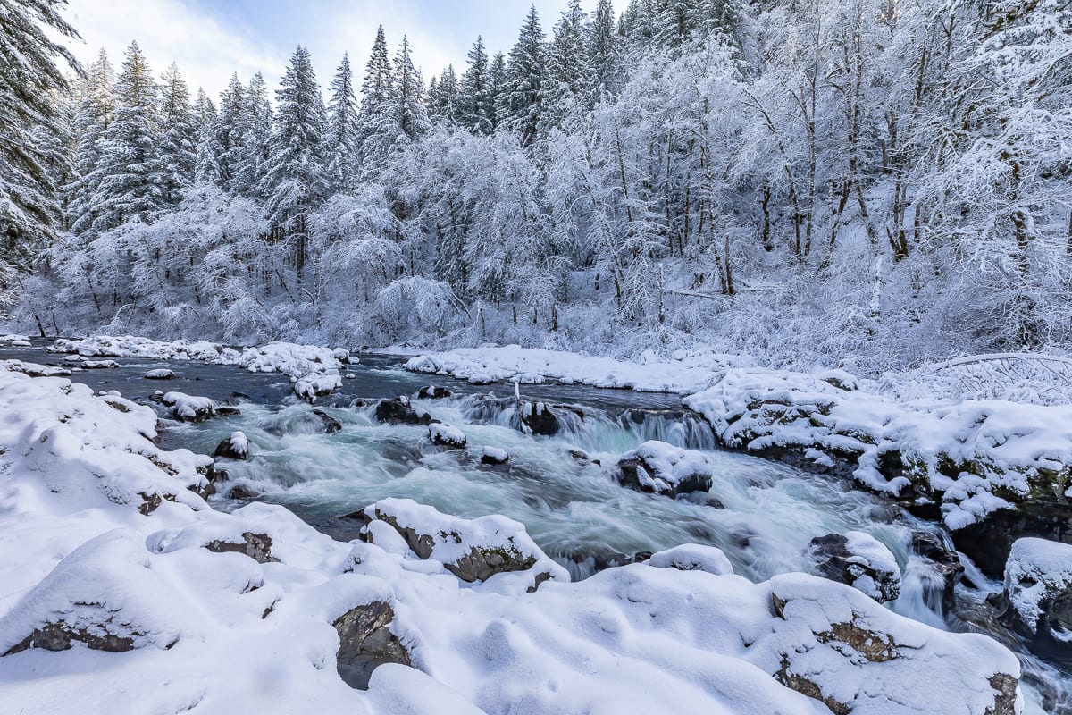
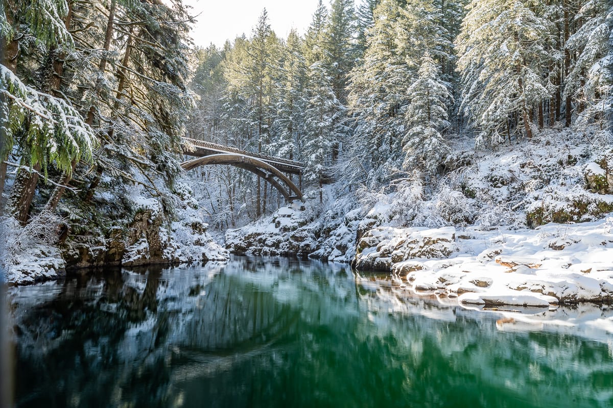
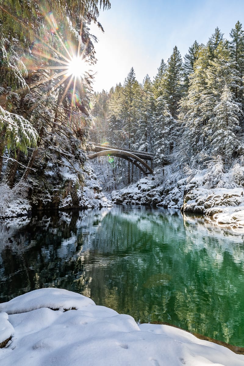
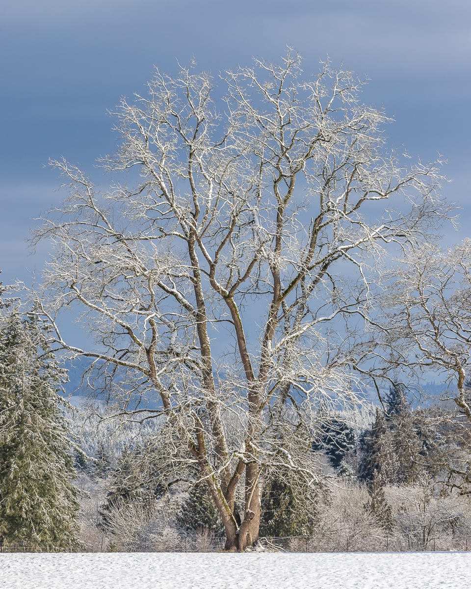
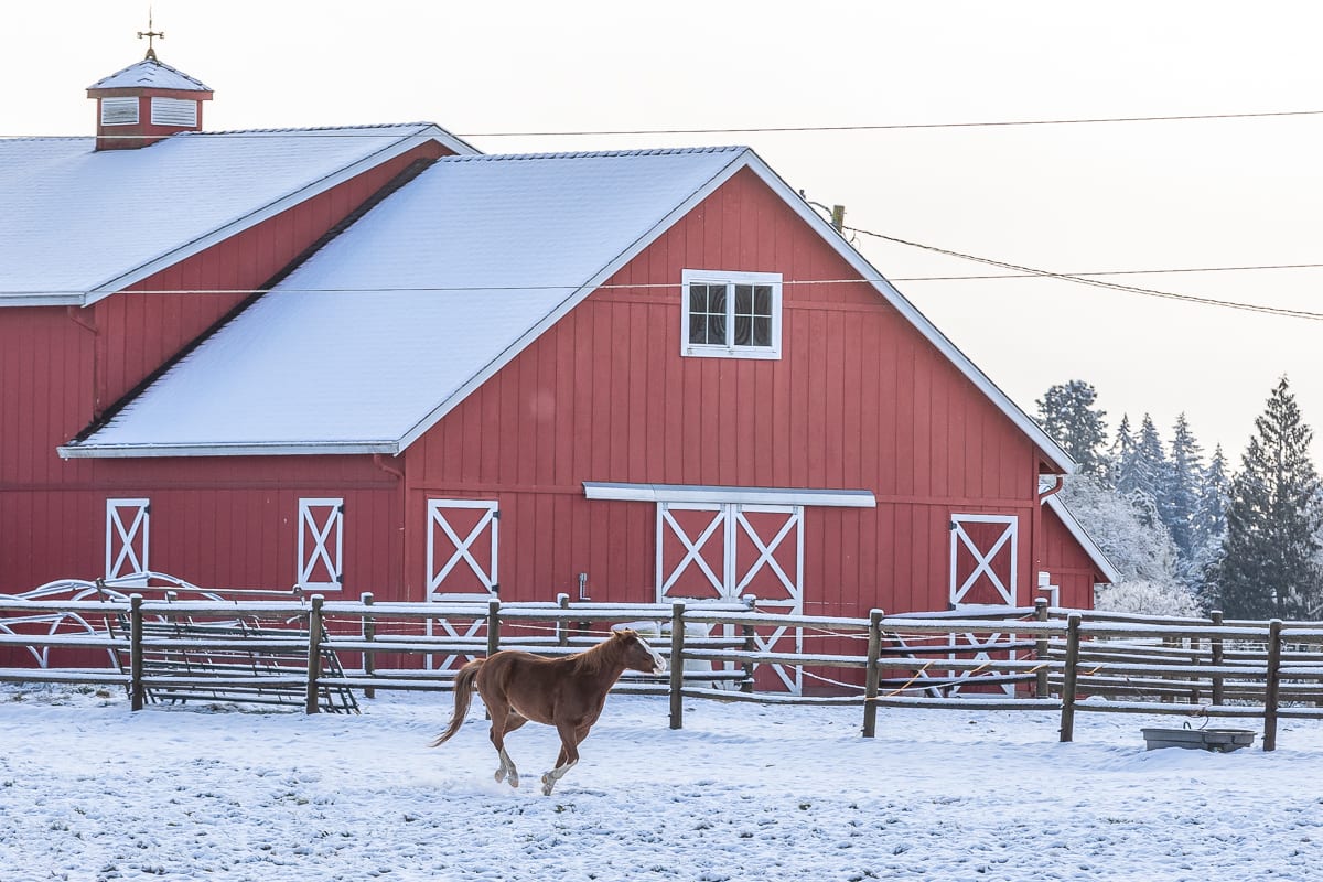
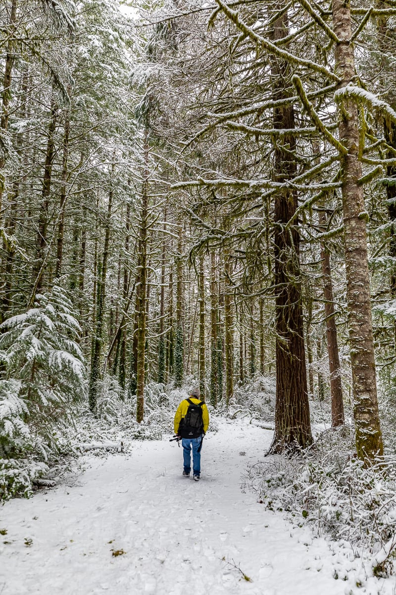
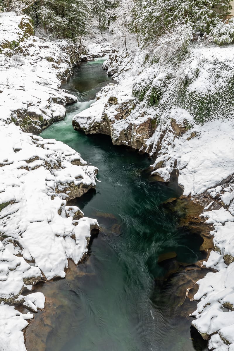
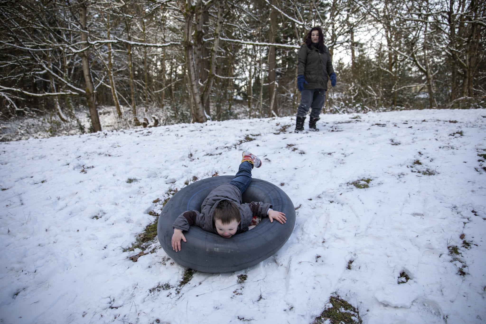
Enjoy this gallery of photos by our own Mike Schultz taken in north and northeast Clark County this morning: